One of the things that is particularly interesting about Time Team, the popular British archaeology television program, is how various types of expertise come together to solve mysteries. Obviously there are historians and archaeologists; that’s why Arthur and I did the class last fall in the way that we did. But there are also a range of specialities in areas such as geophysics. Each episode tends to feature John Gater, equipped with fancy technology designed to tell the team what is underground, scanning fields and confidently predicting where the finds will be. Yet it is another specialist, Stewart Ainsworth, who tends to get it right using only careful observation.
Ainsworth specializes in reading landscapes. He studies the topography, the surrounding context, and any other clues to suss out what might have happened in the past. Environmental historians do much the same. By carefully studying what plants are present, growth patterns, topography, and other subtle clues, it is possible to engage in what terrestrial ecologist Tom Wessels calls “forest forensics.”
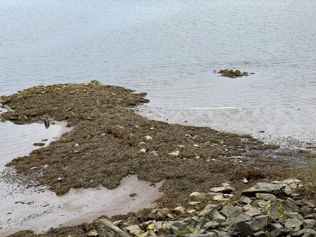
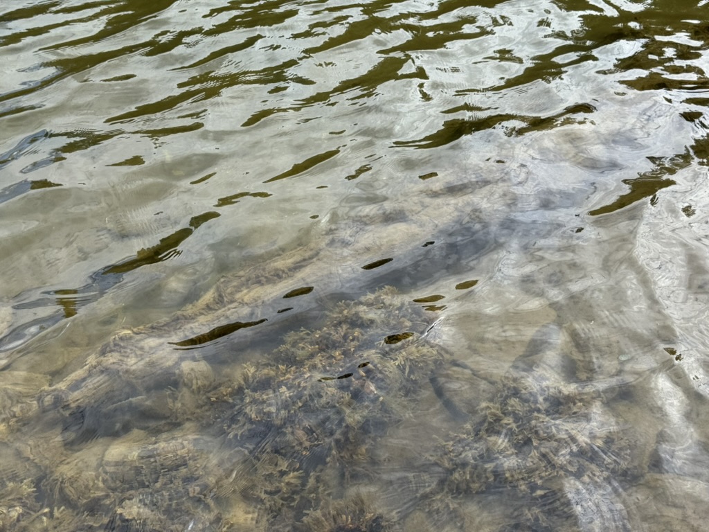
So far, this class has spent a lot of time working in this same vein. As noted in a previous blog post, the location of Norwood’s Wharf was long misidentified. We found it by first studying the shoreline. We looked at rocks. Then, armed with a pretty strong suspicion, we approached property owner Abby Haskell about studying the shoreline at the base of her property. On doing so, there appeared to be visible archaeology worth exploring.
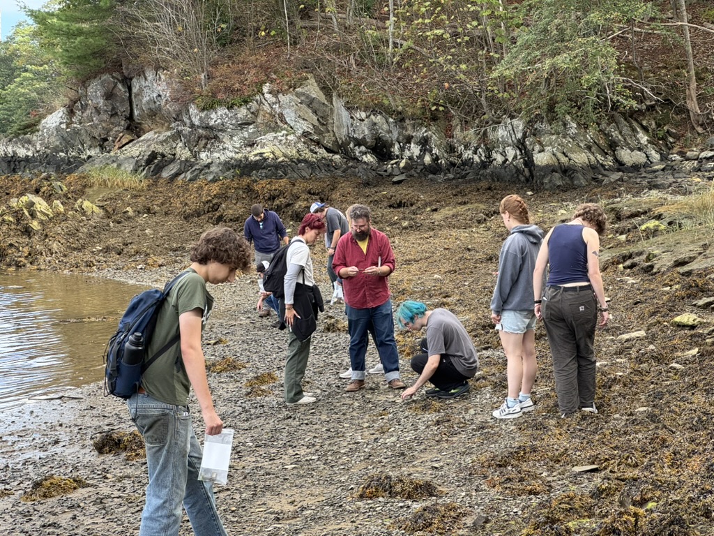
On our first dig day, we started the survey. The plan wasn’t to break any ground. Not yet. It was to do a bit of beachcombing to try to date the site as much as we could. Was it active between, say, 1850 and 1950 when we knew the wharf would have been used?
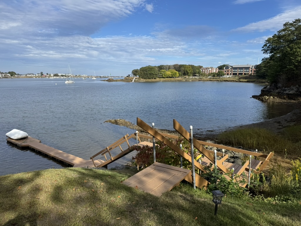
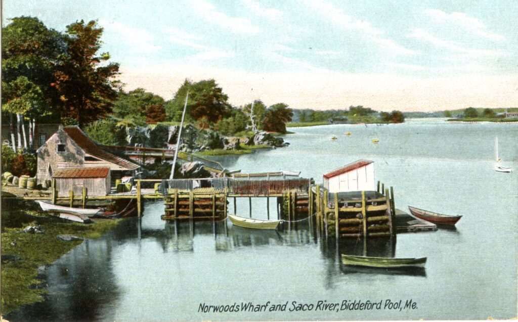
We wanted to study the visible remains of the wharf. Did the footprint resemble our photograph? Was it sited correctly? Did what remains of the structure match the design of Norwood’s Wharf?
Finally, we wanted to try to stand where the postcard photographer stood. We wanted to see things as he or (less likely given the time period) she did. And, of course, we also wanted to try to identify where the more recently acquired photograph mentioned in my last blog might have been taken from. Was it an image of the illusive Town Landing?
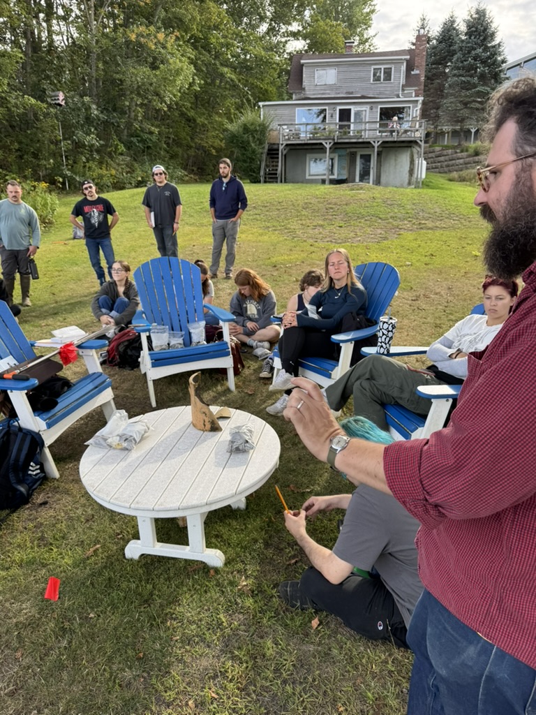
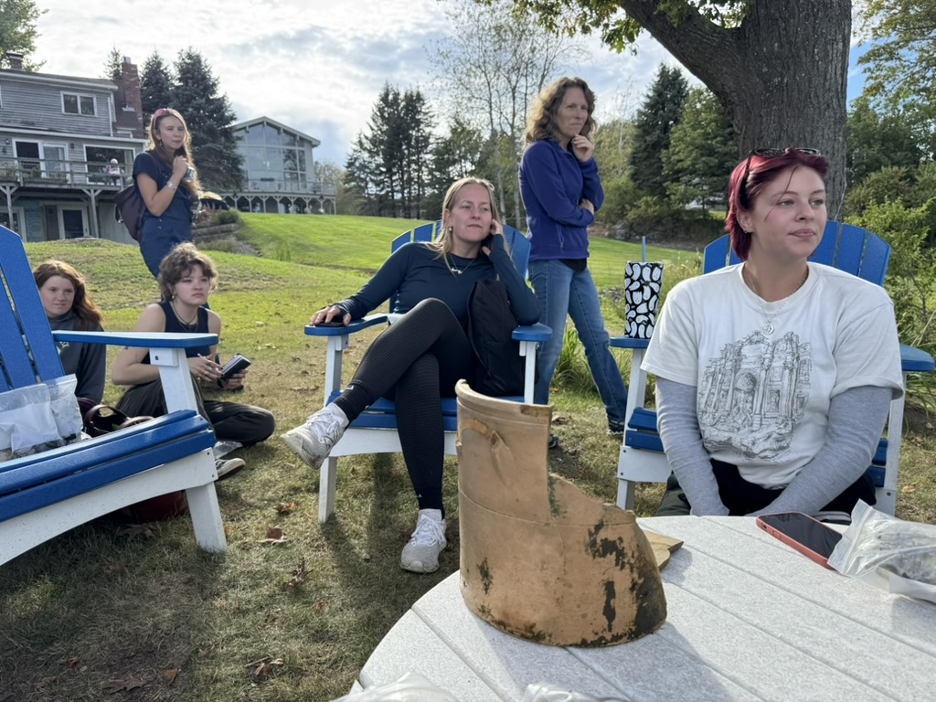
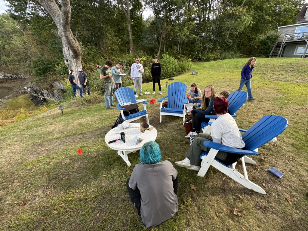
We started off with a brainstorming meeting. Prof. Arthur Anderson talked a little more about method and he asked for the group’s thoughts on how to proceed. We agreed to meet again after getting down to business in order to survey what we’ve learned and to plan for our actual digs. Then, everybody settled down to work.
Some of us studied the dock remains. It was shaped a bit like an “L.” The piers were large, comprised of very significant logs, some of them carefully shaped so that they would sit easily atop one another to form robust square towers that were filled with stone to give them greater stability. The actual decking, no longer existent, sat atop them. A lot of the wood is still there. Still solid. Without shipworms and constant exposure to air, they’re well-preserved.
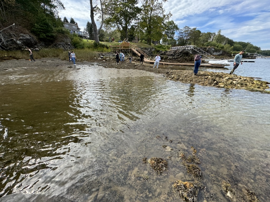
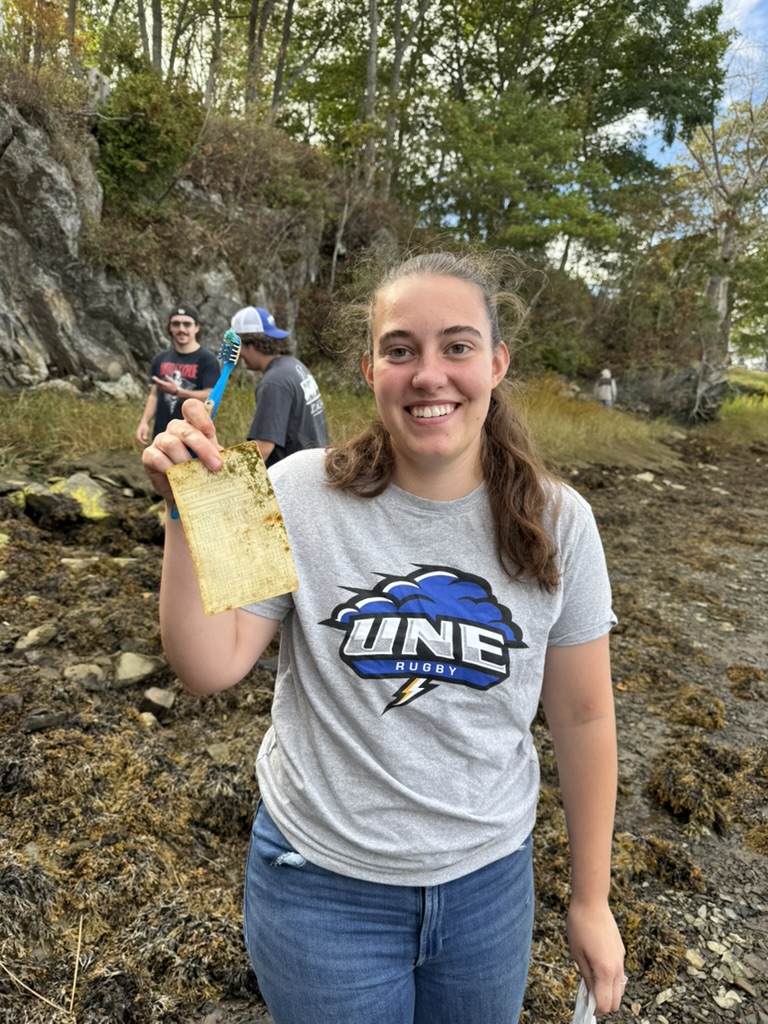
Others walked the beach looking for artifacts. What they found was a treasure trove. In less than two hours, more artifacts turned up than in the whole of last fall.
There was a stoneware pot likely dating from the mid-nineteenth century. Bits of porcelain. Chunks of vintage soda bottles.
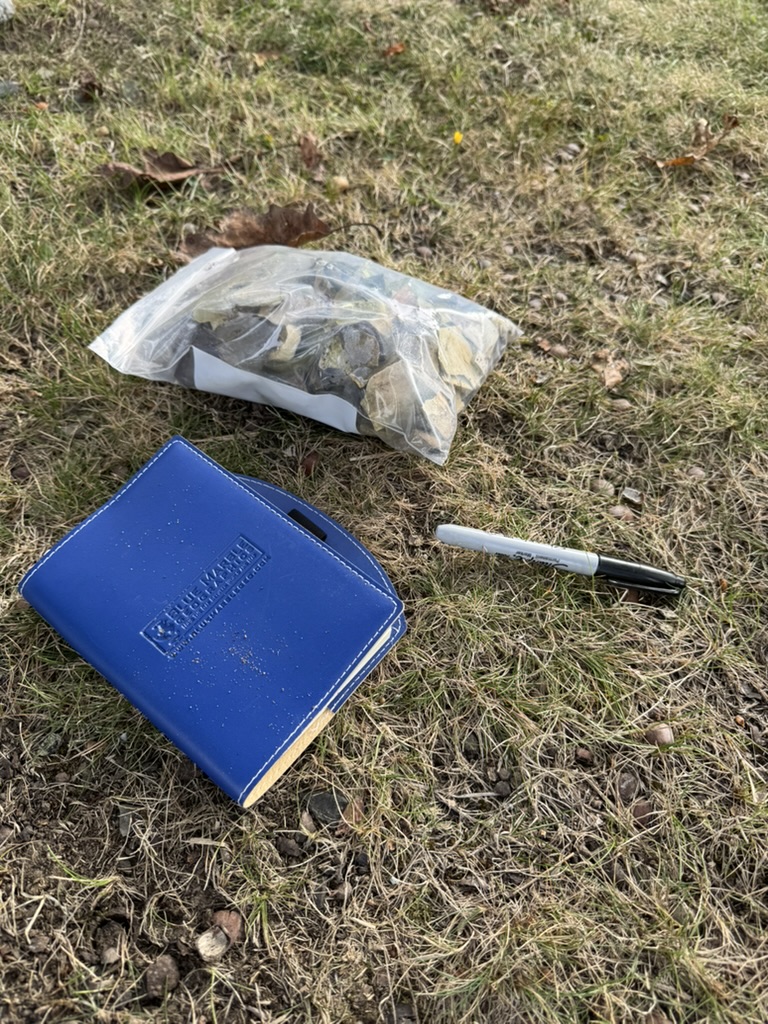
There was even a calendar produced by an area lumber yard in 1951, still checking off the days from under a rock. Some of this stuff could have washed in. The town used to dump its trash in the bay, after all. But even at that, the date range of our finds was encouraging.
There was another thing that the students noticed. A lot of the finds did not come from the immediate wharf area. They were located just a bit further to the UNE side of things, underneath what we believe was once the Norwood family homestead. It was almost all domestic items, the sort of thing a family might use and ultimately discard.
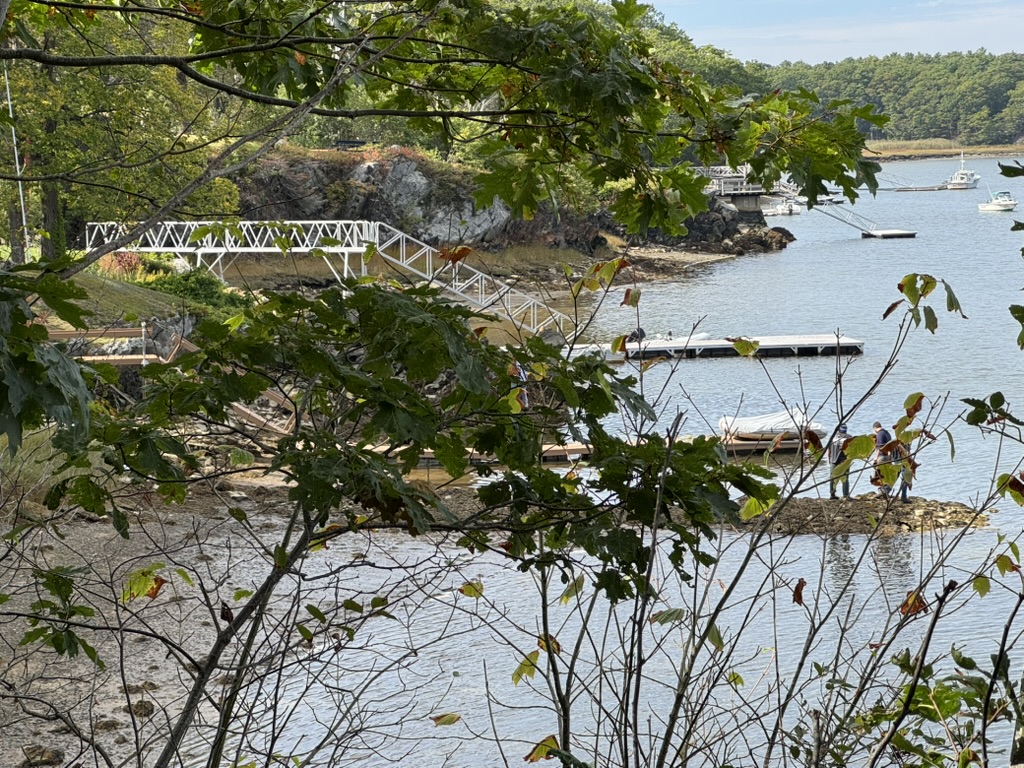
Others, joined by Friends of the Wood Island Lighthouse members Norm Labbe and Kyle Noble, tried to locate where the postcard photograph was taken and where the new image that Norm provided to us might have been shot. It quickly became apparent that the new image is Norwood’s Wharf. It could not have been taken from the Norwood Homestead location and show Town Landing as we’d imagined last week. There’s a large rock outcrop in the way. Just not possible to take such an image.
https://digitalcommons.library.umaine.edu/spec_photos/445. New photograph by Eric G. E. Zuelow)
That rock outcrop was, however, where the postcard was taken. There are now small trees growing there. You cannot fully reproduce the image without cutting something down. But standing in the spot we had no doubt that a postcard photographer, ca. 1910, had stood in precisely the same location to take a now iconic image of an impressive working dock.
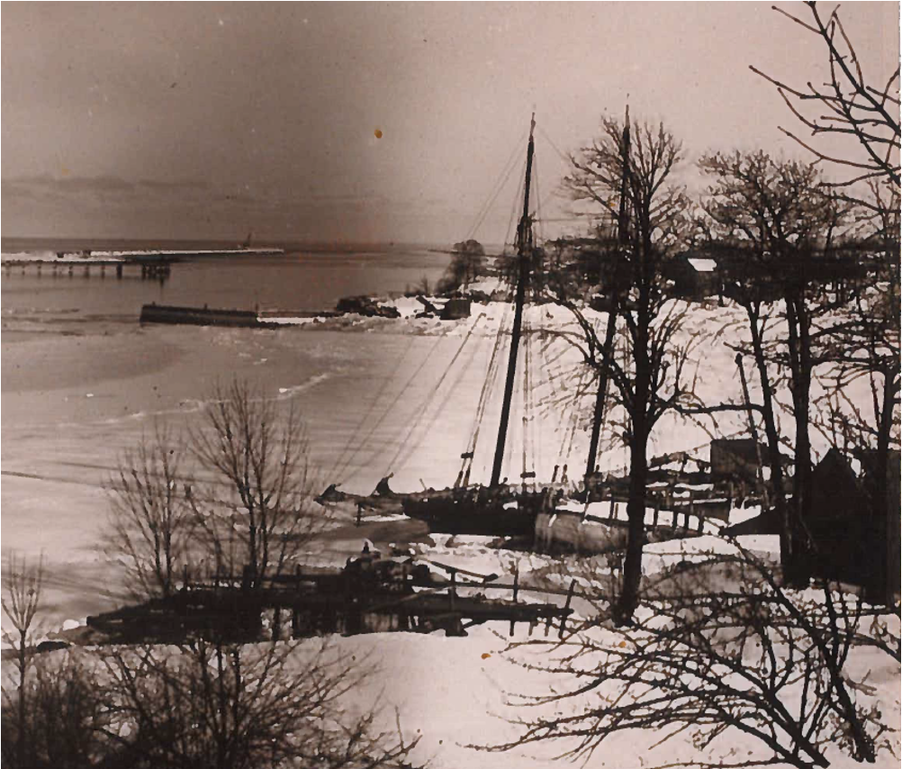
The photograph that Norm provided to us was almost certainly taken from the other side of the wharf, likely in the yard next to Abby’s. That could have been Nelson’s house or possibly another building owned by one of his siblings. The important thing for now is that it gives us a different view of the wharf. Another angle to examine it from. It offers us a much better understanding of the site and how it was used. That’s a very good thing.
Finally, we gathered on the tantalizingly flat area above the old wharf. We talked about what we’d found. Noted the location of objects discovered.
Then, we got serious about where to dig. We debated where the large building next to the wharf likely stood. We tried to match up our images with available landmarks. We hypothesized about what might be inside the building and what might sit outside it. Then, we put flags in the ground aiming for a hole behind the building, one in front, and one inside. On October 3rd, we’ll find out whether we got it right. We have two more days to find out.
- Eric G. E. Zuelow