
Environmental historian William Cronon is famous—infamous in some circles—for arguing that wilderness is not confined to big areas in the West which stand as models all should strive for (even if at the expense of human populations). Wilderness is not defined by an absence of human activity, he argues. Americans, in particular, have told themselves that nature was “good and whole before we got our hands on it … the story is of a fall.” Wilderness, in this view, is a place untouched. The problem is, there are not actually any such places.
The conflict between the fantasy and the reality turns up in debates about how to present and maintain seemingly wild places such as the Apostle Islands in Wisconsin. Here, the parks service follows a policy whereby evidence of human activity—or at least activity that is not ancient (Native American sites) or picturesque (such as lighthouses)—should be removed.
For Cronon, this is wrong. The story of the islands is a story of the interactions between flora, fauna, geography, climate, and humans. It is the story of farmers, tourists, fishermen, Native Americans, and all of the others who have visited and changed the place as much as it is of rocks, trees, and various animals. It is possible to celebrate non-human nature and nature alike, to see how the inevitable interactions played out, and to learn from them. Wilderness is everywhere.
As our investigation proceeds this semester, I find myself thinking about his argument almost constantly.
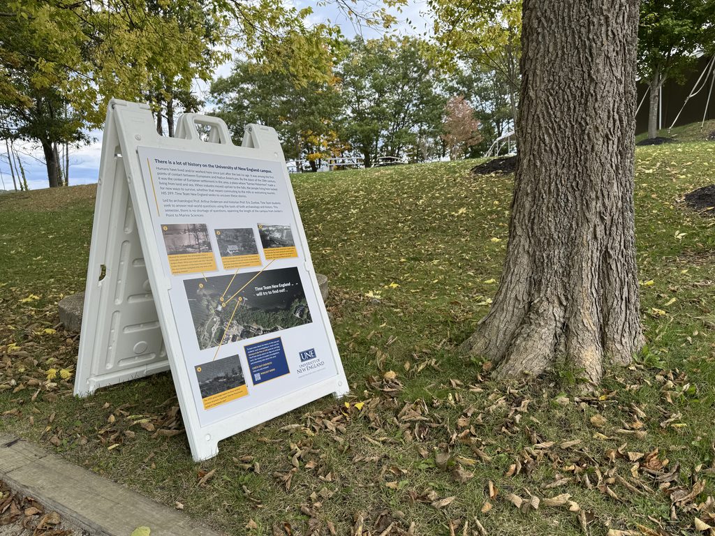
The University New England campus may not be designated a “wilderness” area, but it sits in an idyllic spot, featuring woods and shoreline. It is very easy to look at the river, the rocks, the trees, and the scrubs and to think it more or less timeless. Virtually everybody on campus has failed to notice the bricks embedded in the trails near Jordan’s Point, or to wonder about the shape of the landscape as grass gives way to trees.
The deeper we get into our investigation this fall, however, the more challenging it is to miss the signs of human labor. The moment you look closely, even a little bit, with the idea in the mind that humans changed this, the more you see that change. You wonder how it happened. You wonder why.
Last spring, I was walking the trail from Jordan’s Point with Tom Wessels, author of the fabulous Reading the Forested Landscape. He was on campus to give a talk and the walk was simply a chance for a quick breather between engagements. When we entered the woods, he stopped and looked around. “Well, this landscape has certainly been altered.”
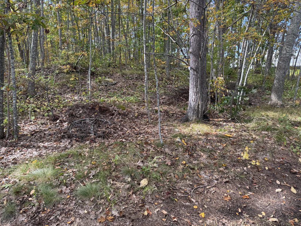
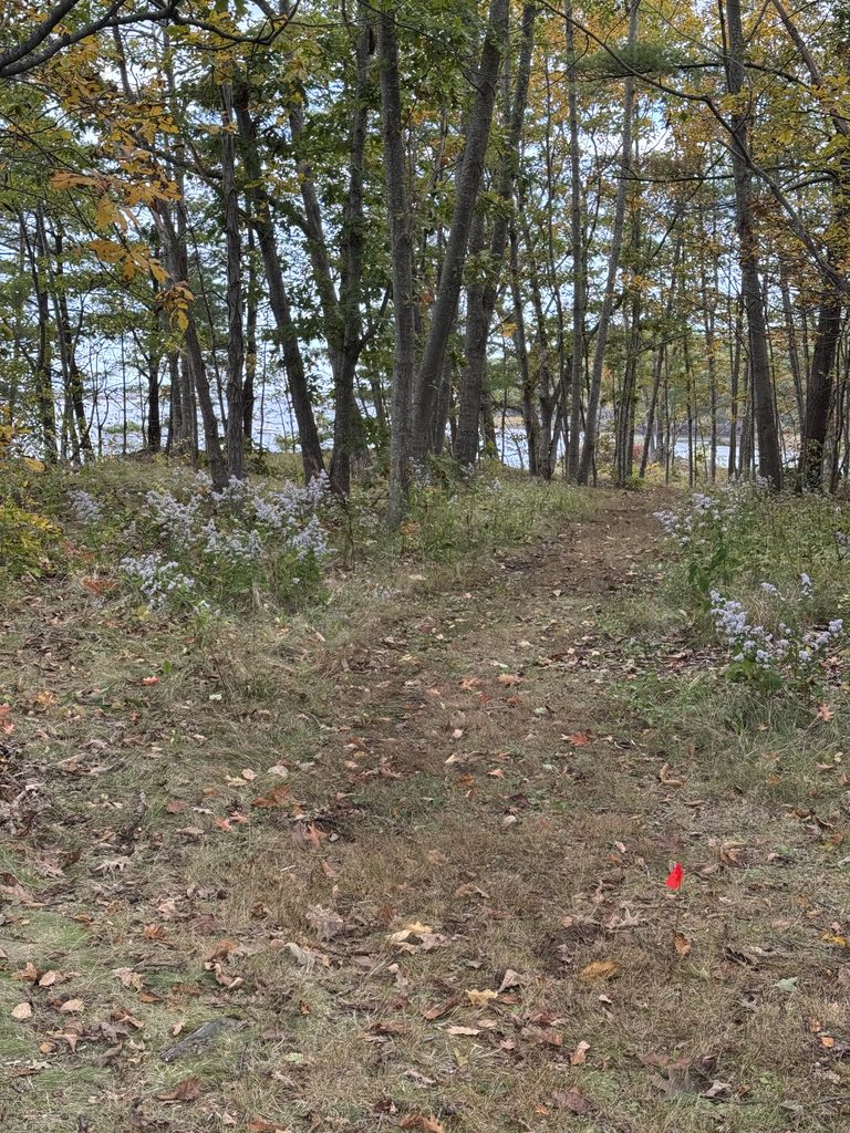
I recall blinking. Looking around. I could see what he meant. Of course, neither of us knew why it was altered, or by whom.
In the past week, the discovery of some photographs that we hadn’t seen before offered some pretty significant clues. Jordan’s Point was not home to a house, it was the site of a farm consisting of numerous buildings. Our task now is to figure out where each stood and to try to make sense of what happened there and why.
The project of figuring that out began with a careful visual survey of the area. Our glass expert, Miles, was the first there. As he peered at the photograph and walked the landscape, he noticed a large number of bricks we hadn’t seen before. A chimney? Something else?
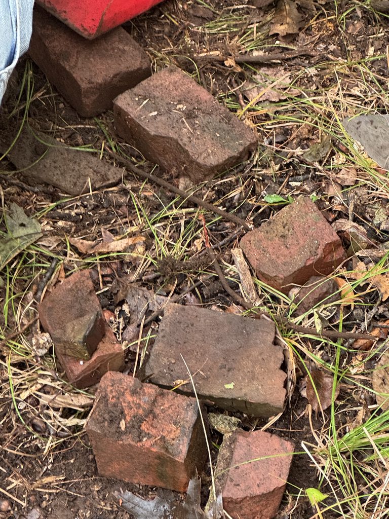
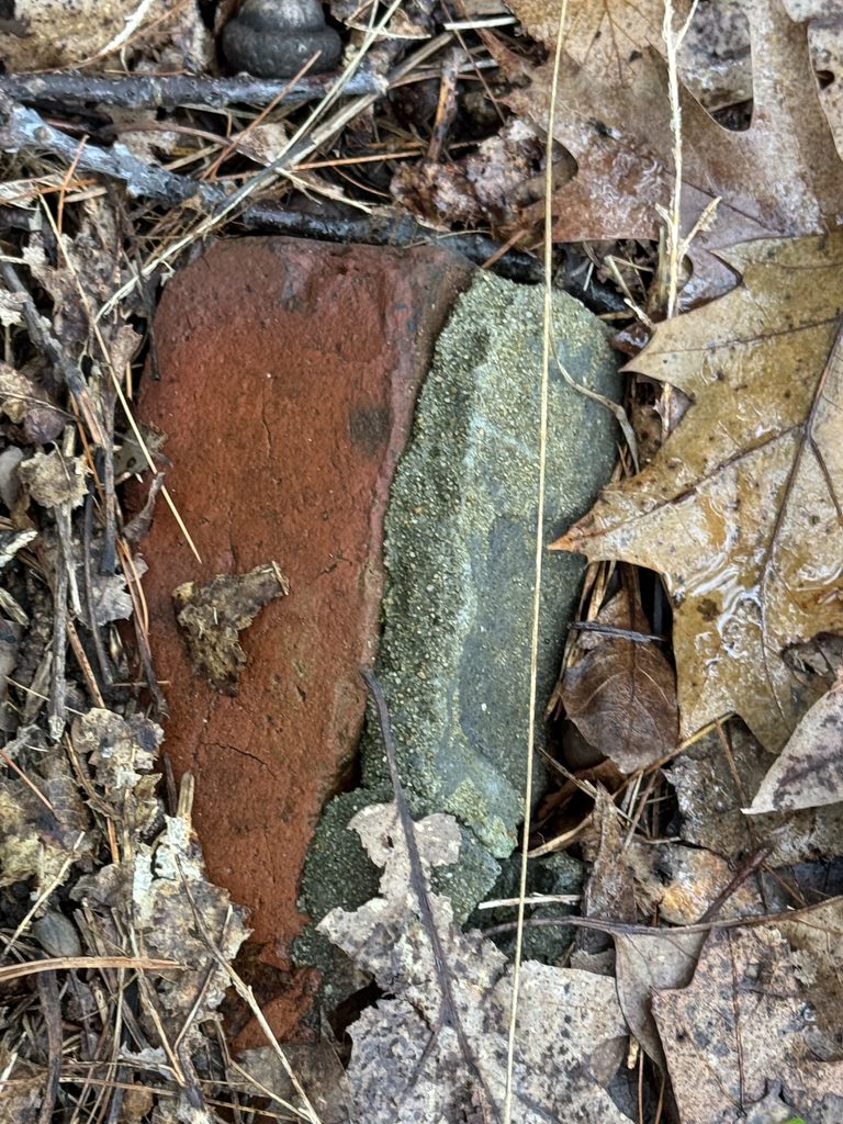
When the rest of the crew arrived, we started wondering if they’d built the farmhouse on a natural ledge, taking advantage of it to situate the porch and to highlight the view.
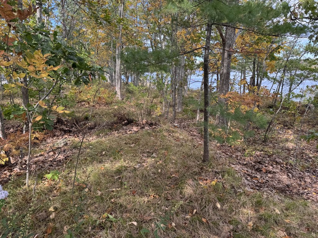
Exploring the woods where Wessels had commented on human alteration, we noted flat spots where buildings might have stood, or farm work been done.
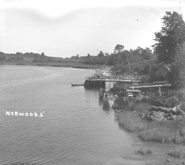
A second photograph, taken of Norwoods’ Wharf and looking towards campus, offers clues not about Jordan’s Point, but about land use nearby. It also shows fleeting views of two buildings not far from the Wayside and the Willows. Who lived there? It shows the opening to Town Landing, the closest thing we have at the minute to a photograph of it.
As the students excavated two new test pits, one near what we take to be a dock, the other at the “chimney” (?) site, we tried to uncover answers.
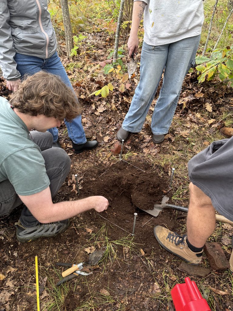
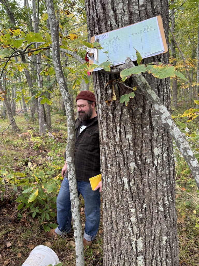
There weren’t any, but the results were no less interesting for that.
Flake!
Near the dock, we did not turn up any nails or the like. But the students found a stone flake. A little piece of red stone cleaved from a larger piece by a Wabanaki inhabitant of the area as far back as 1000 BCE.
Under a microscope, you can see evidence of the craftsperson’s efforts to finish and sharpen the tool.
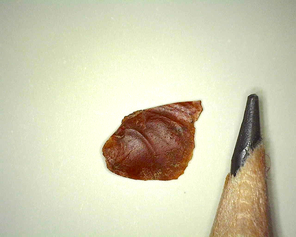
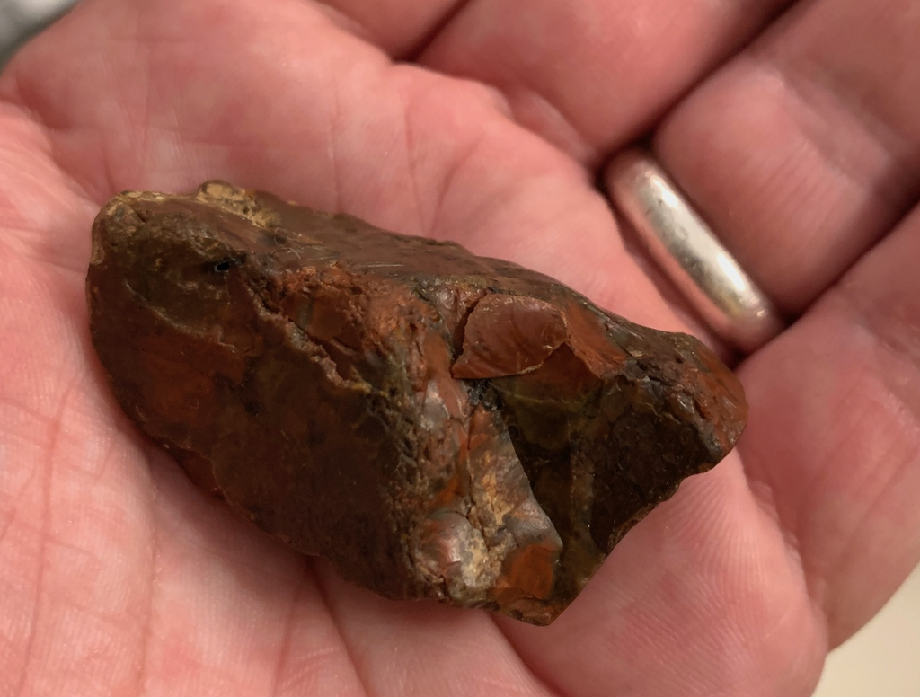
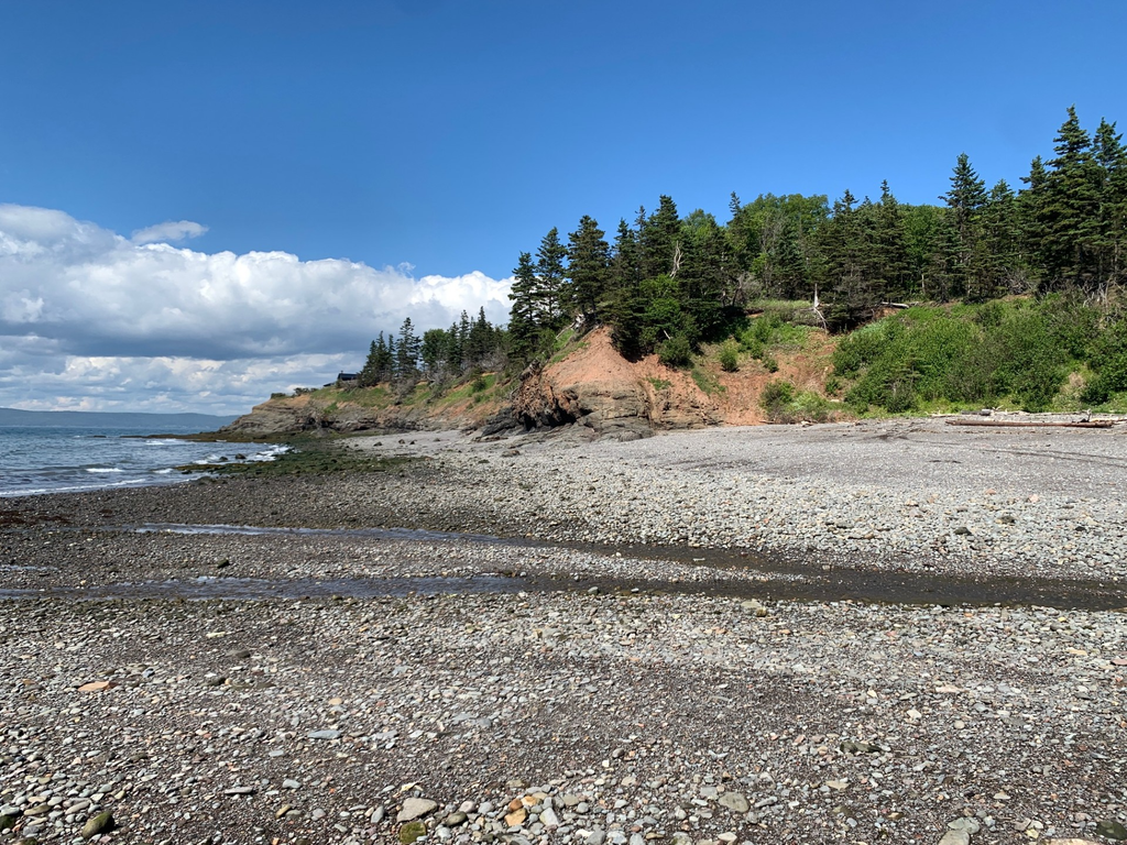
The stone itself isn’t local. It visually matches Mesozoic chert which comes from the Minas Basin in Nova Scotia. Arthur’s work around the UNE campus, along with prior archaeological surveys, make clear that this stone was commonly used during the Middle and Late Woodland period, about 1500 years ago right up to the arrival of Europeans.
Last summer, Arthur made a trek to the Minas Basin where he collected samples of the stone for use in experimental tool replication. The site is over 300 miles from the campus, many more if you travel overland.
Arthur notes that the Gulf of Maine was well connected in the past, and in addition to this trade in stone, Champlain and Lescarbot record a raid on the village of Chouacoet — now our campus — undertaken from Port Royal, NS in 1607. Relations across the Gulf of Maine were close, if not always peaceful.
Chimney?
Our chimney test pit failed to deliver any solid answers. The bricks show surprisingly few signs of charring as might be expected in a fireplace. Beyond some bottle class, there wasn’t much to show real habitation.
We’re not reaching any conclusions just yet, but there was a curious brick amongst the collection. Smaller. Different.
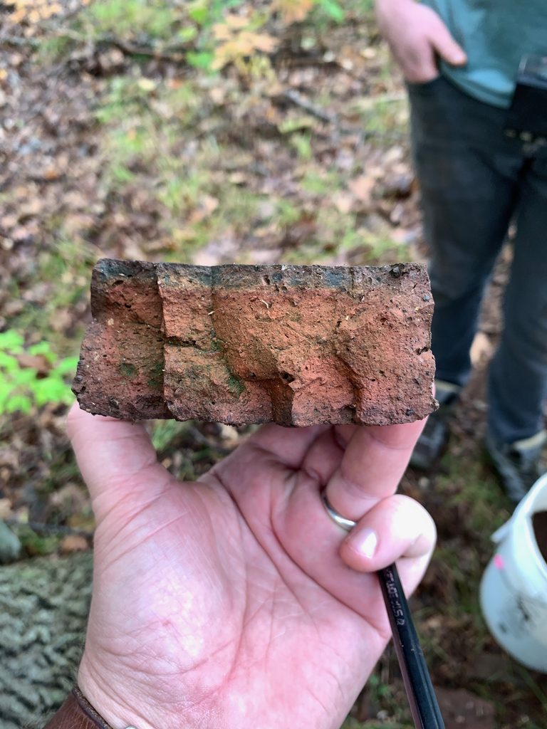
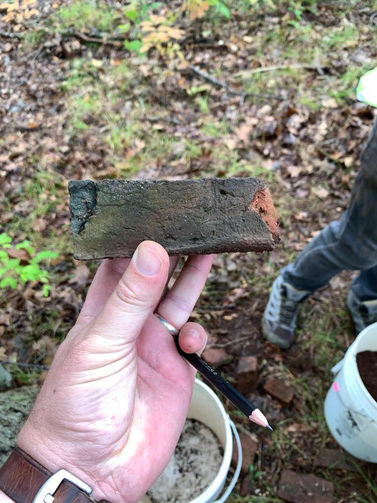
Dating bricks is difficult. Hypothetically, it could be older. Maybe it came from elsewhere and was reused. Maybe not. The mysteries mount.
A Final Survey
As the students dug, Eric walked the site still more. He didn’t find anything obvious, only a shard of window glass down from where we’re digging, closer to the erstwhile jetty although still on the high area near the Riverside tent.
Miles, our glass expert, immediately concluded that it is Victorian. The color of the edges, a dead give-away.
There wasn’t enough of it to suggest our house site, but perhaps a test pit is called for.
After the students had gone and we’d cleaned our gear, the professors made a quick trip to our 2025 dig site at Norwoods’ Wharf. After catching up with our old friend Abby Haskell, we looked across at Jordan’s Point from more or less the vantage point of the photographer, Robert H. Gay.
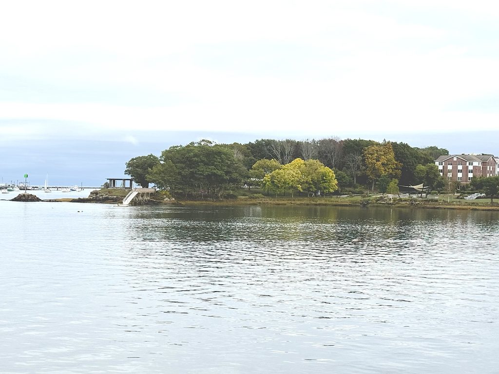
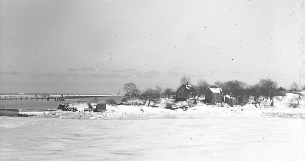
With more trees and a lot more foliage, it is incredibly difficult to judge where things might have been. The little structures near the river are easy enough, but beyond that…
And so, we continue to dig for answers.
— Eric G. E. Zuelow and Arthur Anderson