
Miles Gabriele-Burke, one of our Time Team students this fall, spent a few hours looking through the Robert H. Gay Collection held at the McArthur Library in Biddeford. It’s a gold mine of amazing material that the students (and professors… this stuff is cool!) will need to pour over in far greater detail.
He turned up one image that is especially fascinating, showing a view of Norwood’s Wharf that we’d not known of previously. The original is very dark, so I’ve brightened it up just a bit.
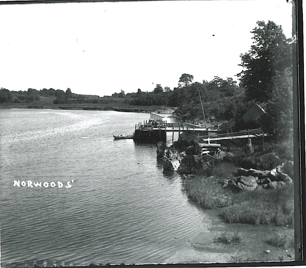
We’re looking in the direction of what is now the University of New England. The Town Landing is just out of view behind the small outcrop below the Norwood homestead, now site of the UNE President’s House.
There’s a house visible in the trees (along with a Sears, Roebuck, and Co. windmill). My assumption is that the house is the same as depicted in this 1948 photograph (below). For reference, we believe that the Wayside (in front of what is now Decary Hall) is the building on the left in the 1948 photograph.
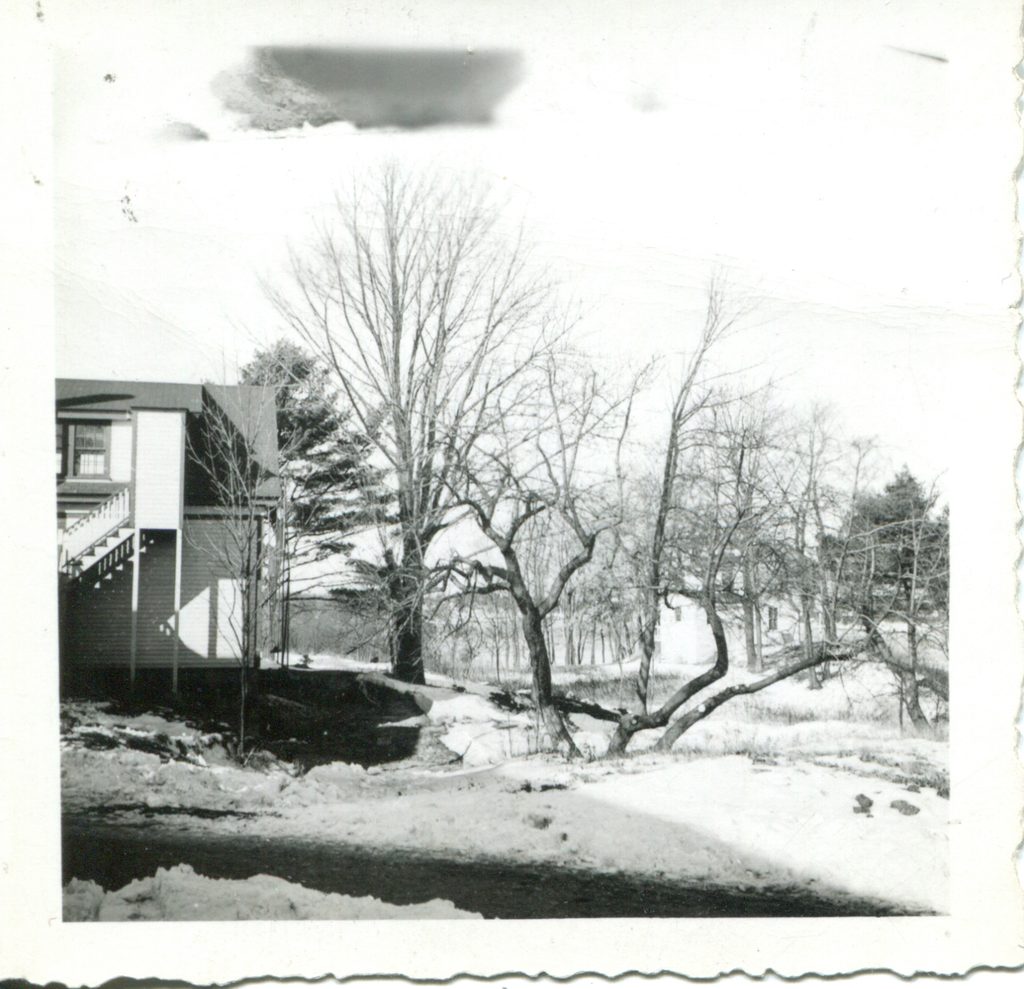
One is immediately struck by the shoreline in the new Norwood’s Wharf photo, prior to the transformation of part of it into a landfill. At the same time, there appears to be a road just above the shoreline that leads to Jordan’s Point and the houses we’ve discovered there.
We’ve also learned more information about Joseph Coolbroth (1822-1903), for that was his name, his relationship to the Huff family, and more. We’ll save that for a future post as we begin to untangle it all.
— Eric G. E. Zuelow